
15 - Brandeburgo e Pomerania (1641)
 |
|||
|
|||
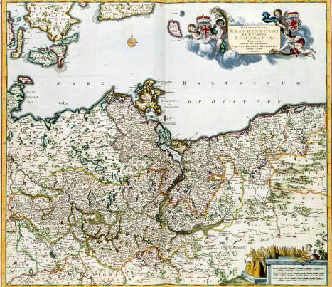
| MARCHIONATUS BRANDENBURGI ET DUCATUS POMERANIAE TABULA . Qua est pars Septentrionalis CIRCULI SAXIONAE SUPERIORIS, Frederik de Wit (1688). This map of Brandenburg, the core area of the Prussian monarchy in Northern Germany, was published at the end of the 17th century by Frederik de Wit (1630-1706). For this map, De Wit probable used a survey map of Brandenburg published by Johannes Janssonius (1588-1664) in 1641. | |||
|
|