
19 - Linge (1700)
 |
|||
|
|||
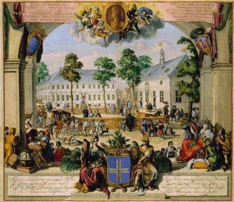
| LEODIENSIS | EPISCOPATUS | in omnes | SUBJACENTES PROVICIAS | distinct‚ divisus, Nicolaas Visscher (1861) The map of the Diocese of Liège was published by Nicolaas Visscher II (1649-1702). Though at first sight the map seems to be relatively accurate, it appears that the cartographer did not depict all details accurately: apart from the depiction of the scene, which is even to 17th-century standards not very well executed, governmental and administrative borderlines appear to have been drawn accidentally. | |||
|
|