
08 - Livonia (1662).
 |
|||
|
|||
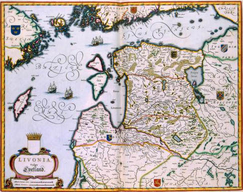
| LIVONIA Vulgo Lyetland, Joan Blaeu (1662)This map depicts the Baltic states Latvia and Estonia. Ever since the Treaty of Altmar in 1629 this area was a Swedish province which was mainly inhabited by Germans. The map was published in 1662 in the second volume of Joan Blaeu's Atlas Maior. As a basis for this map, Blaeu used a large-size wall map from the Swedish scientist Anders Bureus (1571-1661), who was head of the topographical survey. | |||
|
|